SERVICES
Pointcloud To AutoCAD
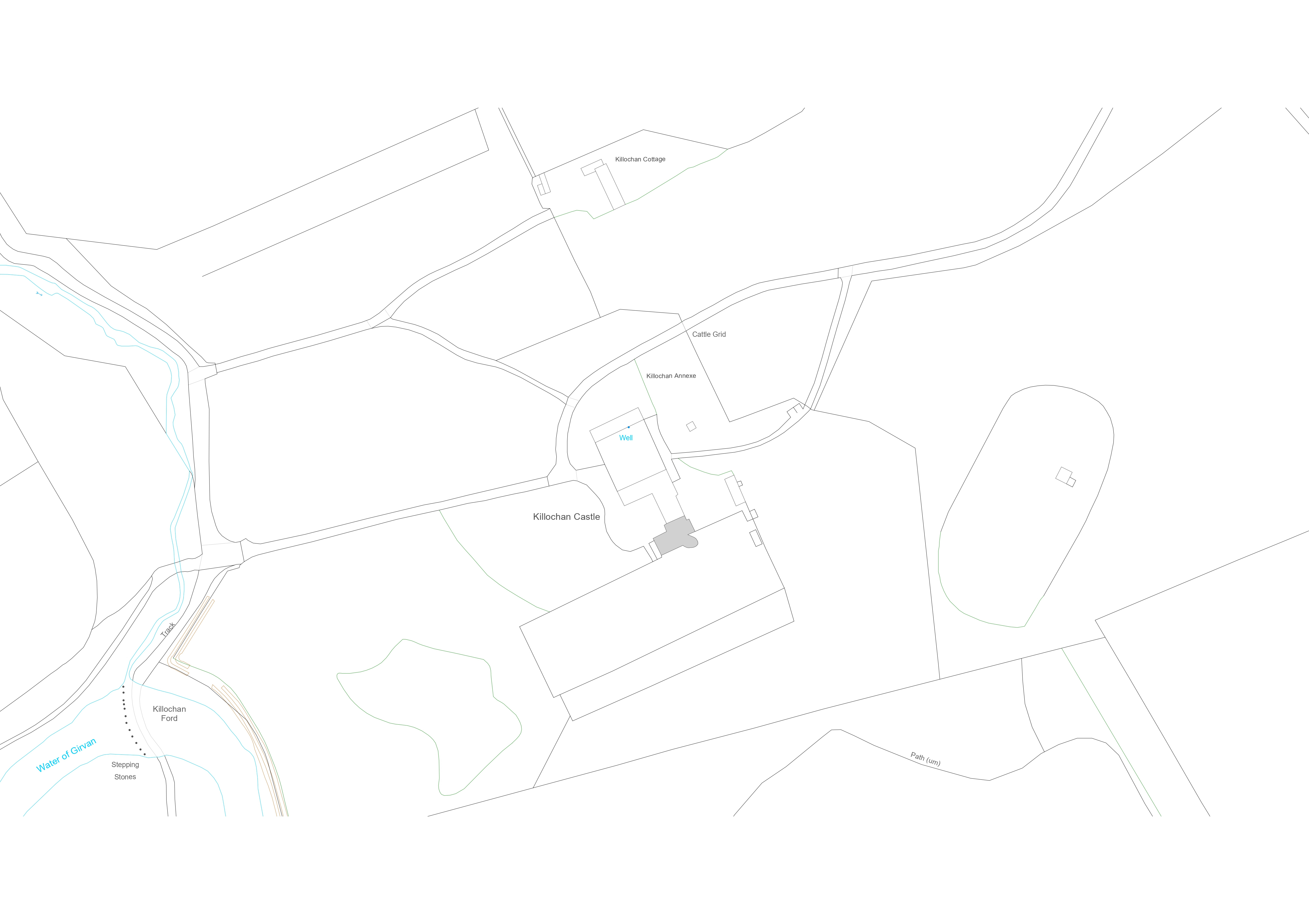
We provide accurate AutoCAD drawings derived from survey data, captured using a laser scan point cloud. All of our measured building 2D surveys include floor plans, elevations, a key section, and a site plan.

At Archilink, We model every project in 3D and this allows us to export as many 2D drawings as needed.
- Capture the pointcloud: We use a Lieca 3D scanner to capture a pointcloud of the physical environment that we want to model in Revit.
- Clean up & Convert: Once the data is captured on site - this is put through series of different programs that refines the data and compatible with Revit.
- Model in 3D: We import the pointcloud into Revit and begin to create geometry that matches the pointcloud.
- Export to 2D: Drawings are then exported from Revit to AutoCAD. The layering system we have developed for AutoCAD works well with every practice's standards.
Overall, the process of generating AutoCAD drawings from a poincloud involves capturing the point cloud, cleaning it up, converting it to a format that Revit can read, importing it into Revit and then exporting the requied 2D drawings.

Related Content
Topographical Surveys
Point Cloud to Revit Surveys