Why Drone Surveys Are Essential for Accurate Measured Building Surveys
When carrying out a measured building survey, capturing accurate information from inside the building and at ground level is only part of the process.
One of the biggest challenges is capturing roofs, dormers, chimneys and other areas that simply cannot be seen properly from the ground.
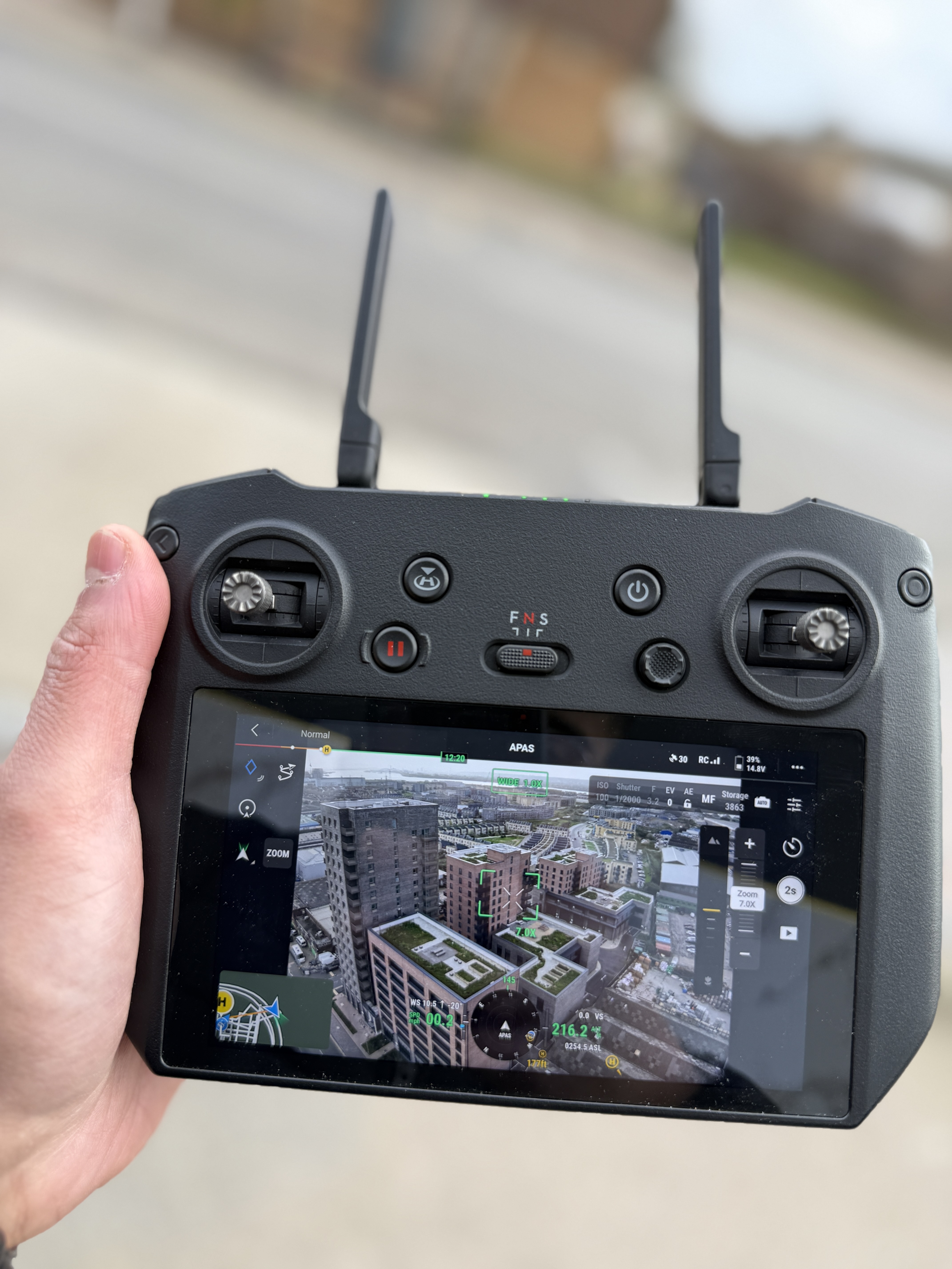
At Archilink Surveys, we regularly combine ground-based LiDAR scanning with drone photogrammetry. By bringing these two datasets together, we can fill in missing information and create a much more complete record of the existing building.
The Problem with Surveying from Ground Level
Our Leica LiDAR scanners capture millions of accurate measurement points around a property. However, like any ground-based scanner, they can only record surfaces that are visible from where the scanner is positioned.
Roof geometry can therefore be particularly difficult to capture.
This is common on London townhouses, where buildings are tall, streets can be narrow and many properties have been extended or converted over the years.
Loft conversions can introduce dormers, roof terraces, rear extensions and changes in roof levels that are difficult or sometimes impossible to see accurately from street level.
The same problem occurs with complex historic buildings, where towers, parapets, chimneys and unusual roof structures can create areas of missing data.
Filling in the Gaps with Drone Photogrammetry
This is where drone photogrammetry becomes particularly useful.
Our drones capture hundreds of overlapping photographs from above and around the building. These images are processed using photogrammetry software to create a detailed 3D dataset of the areas visible from the air.
This allows us to capture information that the ground-based LiDAR scanner cannot see, particularly roofs and high-level architectural features.
Rather than treating the drone survey as a separate service, we use it to complement the LiDAR survey.
Combining Drone Data with LiDAR
Once processed, the photogrammetry data can be scaled and aligned with the ground-based LiDAR point cloud.
The LiDAR provides highly accurate information throughout the building and around the areas visible from ground level, while the drone helps fill in missing information from above.
Combining the two gives our architectural team a more complete dataset when producing the final drawings or model.
This is particularly valuable when creating roof plans, elevations and detailed 3D Revit models where understanding the complete building geometry is important.
A More Complete Building Survey
At Archilink, we use drone photogrammetry on many of our projects because it gives our team information that would otherwise be difficult to capture.
The final survey data can then be used to produce 2D AutoCAD drawings, 3D Revit models or SketchUp models, depending on the requirements of the project.
With teams operating from Aberdeen, Glasgow, Manchester and London, we provide LiDAR and drone measured building surveys across a large part of the UK.
If you have an upcoming project, email info@archilink.co.uk and our team will be happy to provide a same-day quotation.
----
We deliver reliable survey services across the entirety of the UK from our four location: Aberdeen, Glasgow, Manchester and London. Get in touch to find out how we can support your surveying needs.

POSTED BY
Alistair Lea
